-
Bombay Map 1710
-
Thornton Map of Bombay and Salsette 1711
-
Bombay Port and Island 1724
-
Bellin Map of Bombay 1750
-
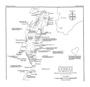
Grose's Map of Bombay 1750
-
Niebuhr Map of Bombay 1764
-
Bombay Fort 1771-1864
-
Dickinson Survey 1812-16
-
Map of Bombay Fort 1840
-
Murphy's Map of Bombay
-
Geological Map of Bombay Island 1852
-
1853 Salt Batty Lands
-
Tulsi Pipe from Tulsi Vihar Lake to Malabar Hill 1884
-
Map of Bombay 1893
-
Salsette 1896
-
Byculla 1901
-
Dongri 1901
-
Parel 1901
-
Bombay Island City 1909
-
Map of Bombay Island City 1915
-
Bombay City 1919
-
Bombay Town and Island City Census Divisions 1921
-
Densities of Bombay Town and Island 1921
-
Beggars in Bombay Town and Island City 1921
-
Buildings Per Acre in Bombay Town and Island City 1921
-
Plan of Bombay 1924
-
South Salsette 1929
-
Antop Hill-BPT 1930
-
Mazgaon Sewri Reclamation 1930
-
Tramways System 1936
-
Bombay Island City 1945
-
Greater Bombay 1945
-
Island City as Part of Mayer-Modak Plan 1949
-
Greater Bombay Plan of Mayer-Modak 1949
-
Bombay Docks
-
Salsette Village Map 1950
 Bombay Map 1710
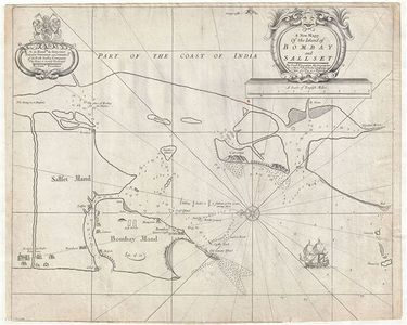 Thornton Map of Bombay and Salsette 1711
 Bombay Port and Island 1724
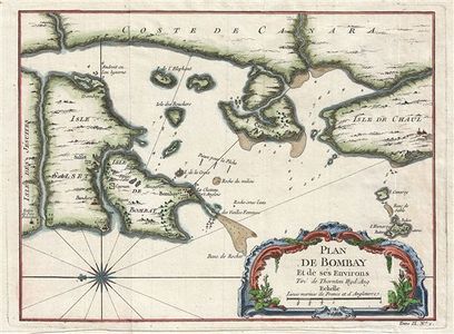 Bellin Map of Bombay 1750
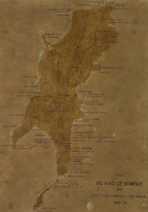 Dickinson Survey 1812-16
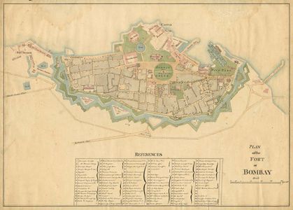 Map of Bombay Fort 1840
 1853 Salt Batty Lands
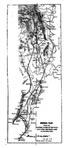 Tulsi Pipe from Tulsi Vihar Lake to Malabar Hill 1884
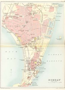 Map of Bombay 1893
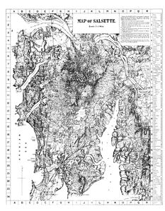 Salsette 1896
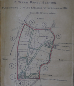 Parel 1901
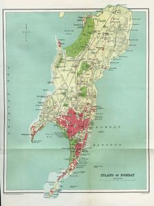 Bombay Island City 1909
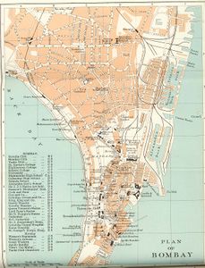 Plan of Bombay 1924
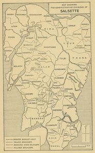 Salsette Village Map 1950


