Maps 1700 to 1950: Difference between revisions
Jump to navigation
Jump to search
No edit summary |
No edit summary |
||
| Line 36: | Line 36: | ||
File:1921 Buildings per Acre Bombay Town and island City.pdf|Buildings Per Acre in Bombay Town and Island City 1921 | File:1921 Buildings per Acre Bombay Town and island City.pdf|Buildings Per Acre in Bombay Town and Island City 1921 | ||
File:1924 Plan of Bombay.jpg|Plan of Bombay 1924 | File:1924 Plan of Bombay.jpg|Plan of Bombay 1924 | ||
File:1925 Back Bay Reclamation Scheme Progress upto 1925.pdf|Back Bay Reclamation Scheme Progress upto 1925 | |||
File:1928 Map of Bombay showing Wards.pdf|Map of Bombay showing Wards 1928 | File:1928 Map of Bombay showing Wards.pdf|Map of Bombay showing Wards 1928 | ||
File:1929 South Salsette Taluka Map.pdf|South Salsette 1929 | File:1929 South Salsette Taluka Map.pdf|South Salsette 1929 | ||
Revision as of 15:52, 22 November 2018
-
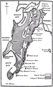 Map of Bombay 1660
 -
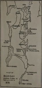 Map of Bombay 1670
 -
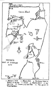 Fryer's Map of Bombay 1672
 -
 Bombay Map 1710
 -
 Thornton Map of Bombay and Salsette 1711
 -
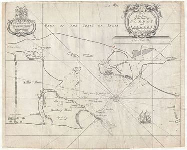
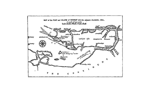 Bombay Port and Island 1724
 -
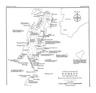
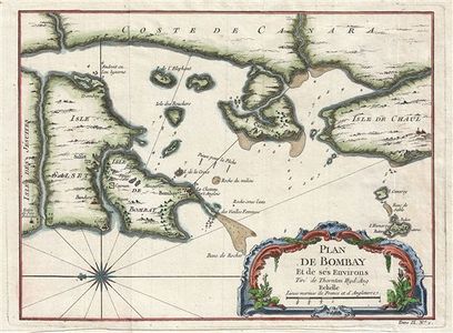 Bellin Map of Bombay 1750
 -
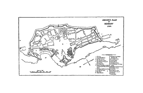 Grose's Map of Bombay 1750
 -
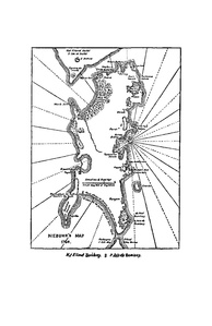 Niebuhr Map of Bombay 1764
 -
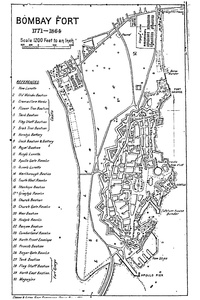 Bombay Fort 1771-1864
 -
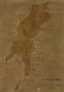 Dickinson Survey 1812-16
 -
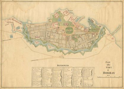 Map of Bombay Fort 1840
 -
 Murphy's Map of Island of Bombay and Colaba 1843
 -
 Murphy's Map of Bombay 1843
 -
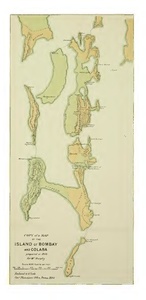
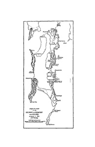
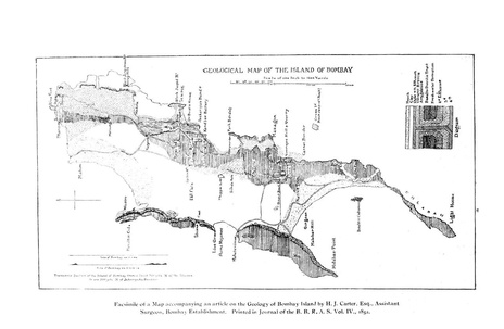 Geological Map of Bombay Island 1852
 -
 1853 Salt Batty Lands
 -
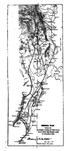 Tulsi Pipe from Tulsi Vihar Lake to Malabar Hill 1884
 -
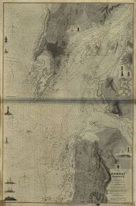 1885 Bombay Harbour
 -
 1893 Bombay Island and Salsette
 -
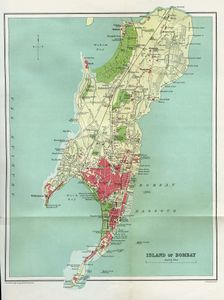
 Map of Bombay 1893
 -
 1895 Bombay Island TOI Map
 -
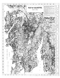 Salsette 1896
 -
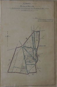 Byculla 1901
 -
Dongri 1901
-
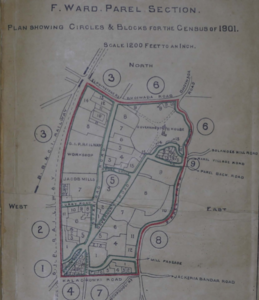 Parel 1901
 -
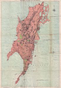
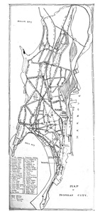
 Bombay Island City 1909
 -
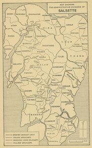
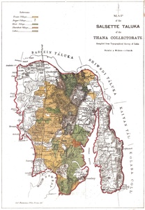 Salsette Taluka 1913
 -
 Map of Bombay Island City 1915
 -
 Bombay City 1919
 -
 Bombay City Survey 1914-1918
 -
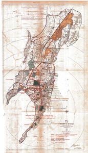
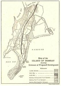 Schemes of Proposed Development 1919
 -
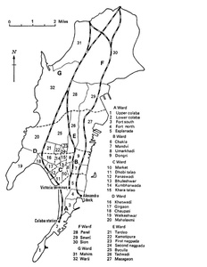
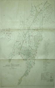 Bombay Town and Island City Census Divisions 1921
 -
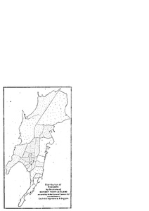
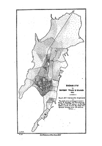 Densities of Bombay Town and Island 1921
 -
 Beggars in Bombay Town and Island City 1921
 -
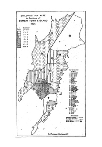 Buildings Per Acre in Bombay Town and Island City 1921
 -
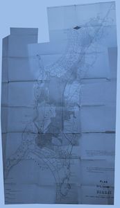
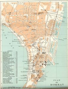 Plan of Bombay 1924
 -
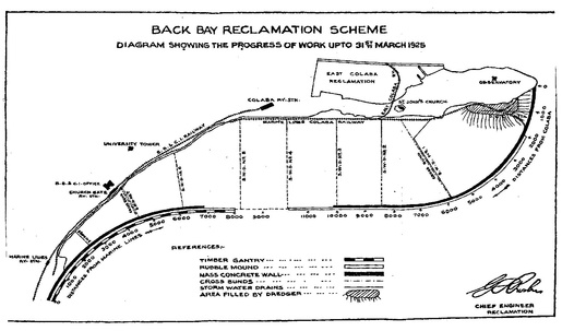 Back Bay Reclamation Scheme Progress upto 1925
 -
 Map of Bombay showing Wards 1928
 -
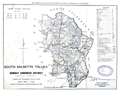 South Salsette 1929
 -
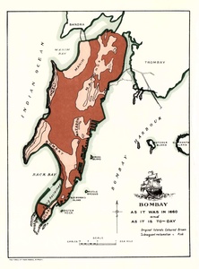 Bombay 1660 to 1930
 -
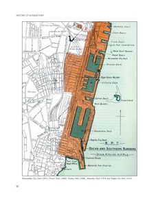
 Bombay Port Trust Docks and Bunders 1930
 -
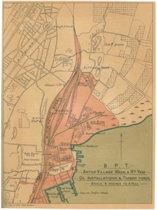 Antop Hill-BPT 1930
 -
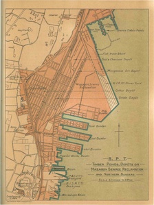 Mazgaon Sewri Reclamation 1930
 -
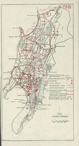
 1933 Bombay Island City
 -
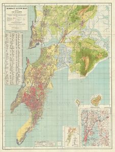 Bombay Guide Map by Survey of India 1933
 -
Tramways System 1936
-
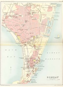
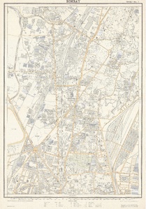
 Bombay City 1941
 -
 Bombay Island City 1945
 -
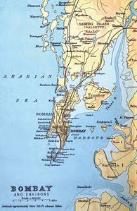
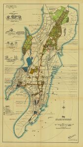
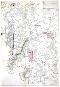
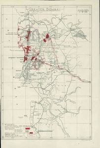 Greater Bombay 1945
 -
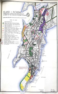 Island City as Part of Mayer-Modak Plan 1949
 -
 Greater Bombay Plan of Mayer-Modak 1949
 -
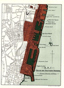
 Bombay Docks
 -
 Salsette Village Map 1950


