Maps 1951 to 2020: Difference between revisions
Jump to navigation
Jump to search
No edit summary |
No edit summary |
||
| Line 1: | Line 1: | ||
<gallery mode=packed height=200px> | <gallery mode=packed height=200px> | ||
File:1957 Water Supply Works of BMC.pdf|1957 Water Supply Works of BMC | File:1957 Water Supply Works of BMC.pdf|1957 Water Supply Works of BMC | ||
File:1957 Zones of Water Supply.pdf|1957 Zones of Water Supply | |||
File:1964 Geological Map Bombay .png|1964 Geological Map of Bombay | File:1964 Geological Map Bombay .png|1964 Geological Map of Bombay | ||
File:1965 Limit Extension Outine Map .png|1965 Bombay City Limit Extensions Outline Map | File:1965 Limit Extension Outine Map .png|1965 Bombay City Limit Extensions Outline Map | ||
Revision as of 15:54, 30 May 2018
-
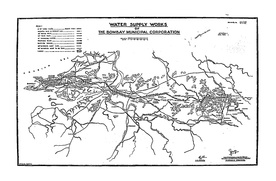 1957 Water Supply Works of BMC
 -
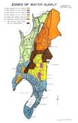 1957 Zones of Water Supply
 -
 1964 Geological Map of Bombay
 -
 1965 Bombay City Limit Extensions Outline Map
 -
 1969 Bombay Guide Map
 -
 1980 BKC Land Use Proposal
 -
 1980 Bandra Kurla Complex Proposal
 -
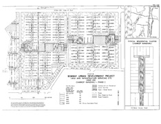 1985 Charkop Layout Plan
 -
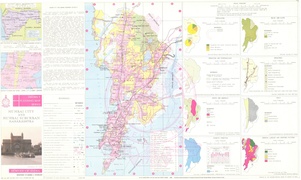 1996 Mumbai City and Suburban
 -
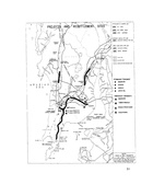 2002 MUTP Project and R&R Sites
 -
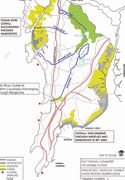 2005 Mumbai Rivers Map
 -
 2005 Mumbai Map-Hindi
 -
 2011 Slum Map
 -
 2015 Slum Clusters Map with Village Boundaries


